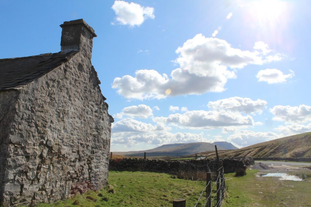
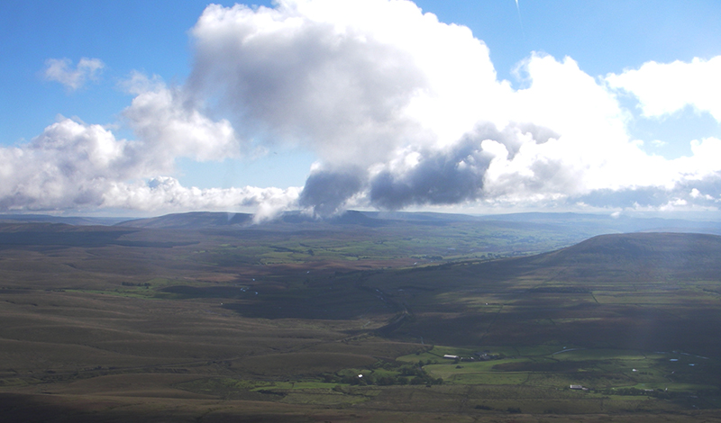
 The Route to Whernside
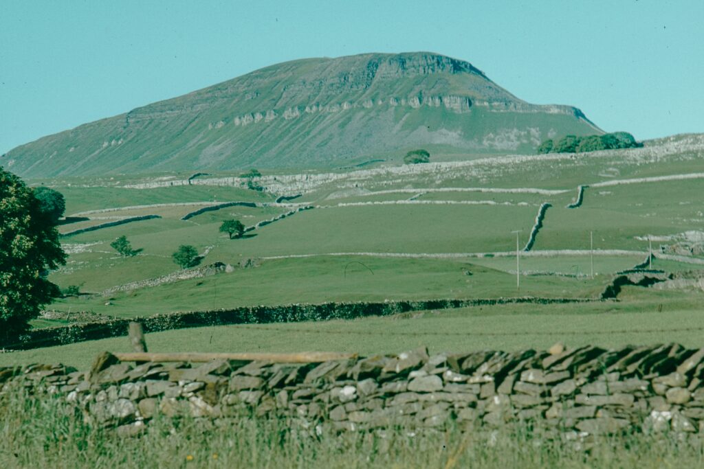
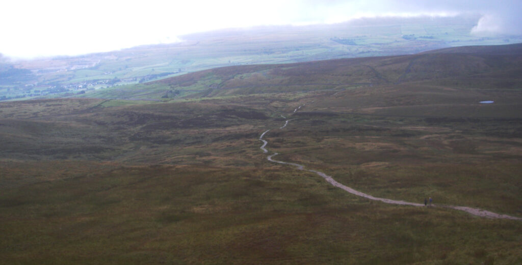
The descent down Pen-y-Ghent is easy going on the knees. Follow the trail all the way, keeping south of Hull Pot. You should be able to follow a shingle path.
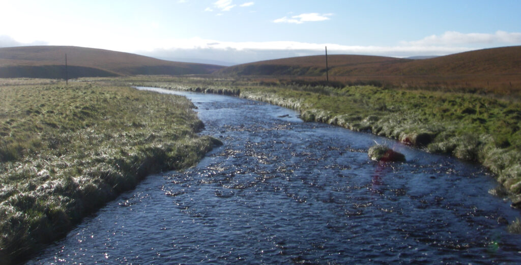
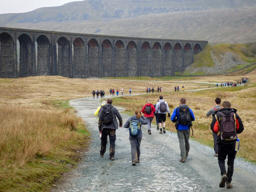
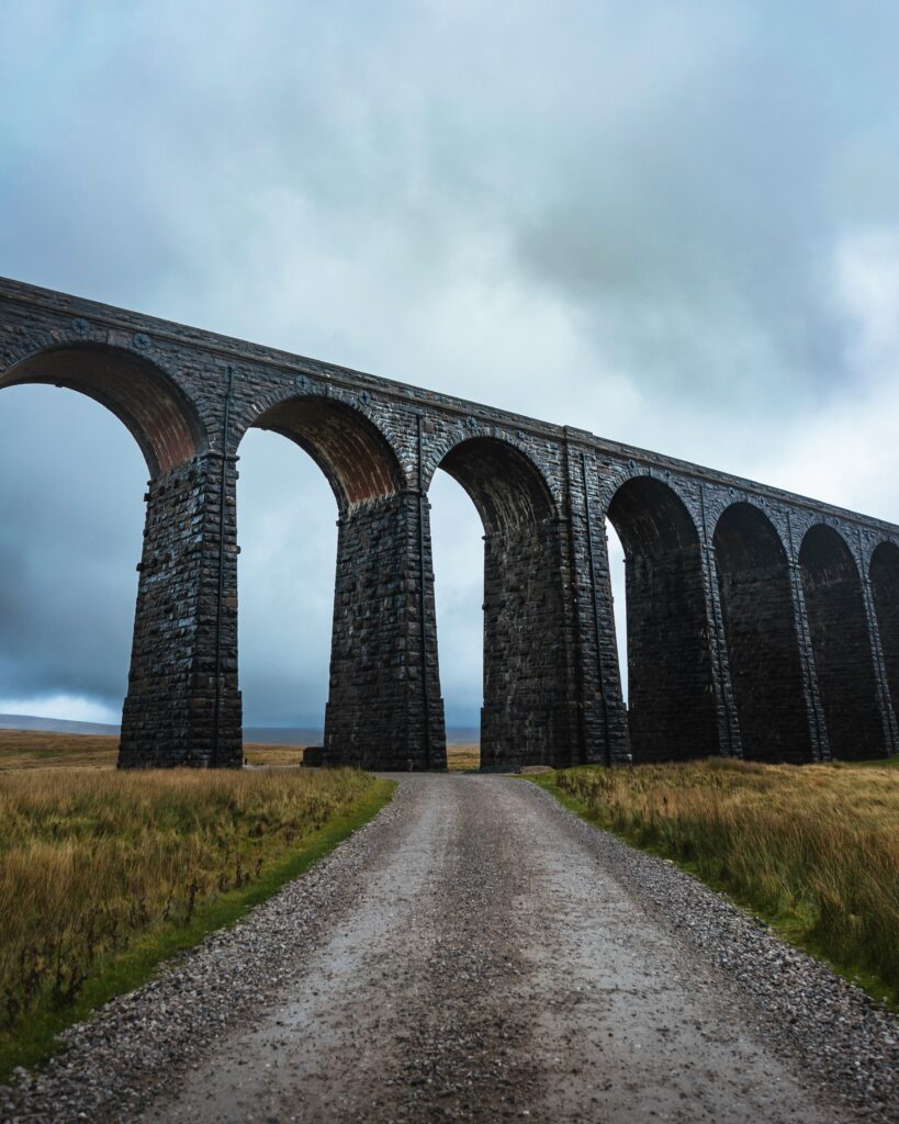
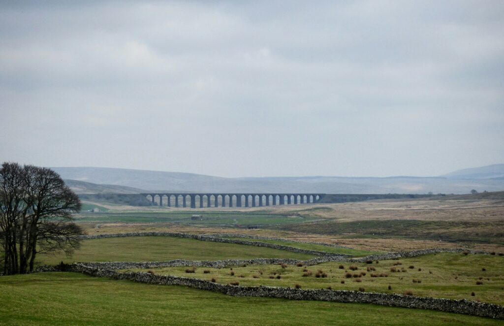
Depending on your pace, after 1-2 hours of traipsing across fields in the direction of Ribblehead, you’ll come out onto Ingleborough Road / Gauber Road. You’ve covered 9 miles so far! As you continue down the road, you’ll soon see the Ribblehead Viaduct. This is a great opportunity to make a quick refreshment stop if you’ve packed food, or you can stop for a quick bite and a cup of something hot at the tea van. When you’re ready, cross the road and follow the track towards the viaduct.
How long to complete the Yorkshire Three Peaks Challenge?
In a 12-hour challenge, you can expect Pen-y-Ghent, to take roughly 1.5 to 2 hours. Whernside will take about 2.5 to 3 hours, and the final peak, Ingleborough, will take roughly 3 to 3.5 hours, followed by the descent back to the start. Here’s a typical breakdown:
Pen-y-Ghent: Approximately 1.5 to 2 hours from the start in Horton-in-Ribblesdale.
Whernside: Around 2.5 to 3 hours from the summit of Pen-y-Ghent.
Ingleborough: About 3 to 3.5 hours from the summit of Whernside. Descent to Horton-in-Ribblesdale: Approximately 2.5 hours from the summit of Ingleborough.
While pace is important to complete the challenge, you will need to allocate brief stops for food and water. Your fitness level and ability to maintain a consistent pace is also critical.
Yorkshire Three Peaks Packing List
Clothing & Footwear
- Good hiking boots (already broken in). A lot of the ground is uneven and boggy, so you’ll boots that are waterproof and with great ankle support.
- Moisture-wicking base layers (avoid cotton)
Mid-layer fleece or softshell
Waterproof jacket & trousers (the British weather is always unpredictable)
Comfortable walking socks (plus a spare pair)
Hat & gloves (even in summer, it can be windy on summits). Sunglasses for sunny days.
- SPF. There’s zero cover, so if it’s hot you’ll want to be protected.
Food & Water
- At least 2–3 litres of water (hydration bladder or bottles)
- Electrolyte tablets
- High-energy snacks (nuts, dried fruit, flapjacks, energy bars)
- Packed lunch (sandwiches, wraps, or something easy to eat on the move)
Gear & Essentials
- Small daypack (20–30L). Ensure it’s a good quality hiking bag with good back support
- Fully charged phone + portable charger / power bank
- If using GPS for your Yorkshire Three Peaks route, make sure you’ve downloaded your map beforehand so you can use it offline
- Headtorch (just in case)
- Basic first aid kit (plasters, blister pads, painkillers)
- Walking poles (optional, but helpful for descents)
 Top tip: Pack as light as possible, while covering essentials. Over 24 miles, every kilo will feel heavier as you go.
When is the best time of year to do the Yorkshire Three Peaks Challenge?
You’ll want to maximise daylight hours, so we’d suggest avoiding the winter, even on those crisp sunny days.
The shoulder seasons of spring (April-early June) and autumn (September-late October) are your best bet, when conditions will likely be more comfortable. We completed our challenge in October and we found the conditions to be just right.
Are there toilets?
The only toilets are in Horton-in-Ribblesdale. But you can’t always time it when nature calls! Please always be considerate of others. Try to position yourself away from streams so it doesn’t end up in waterways, and also ensure wherever you go is well away from the trodden path of others.
Are there bins along the route?
There aren’t any bins. Please take all your waste and rubbish with you to look after the beautiful surroundings.